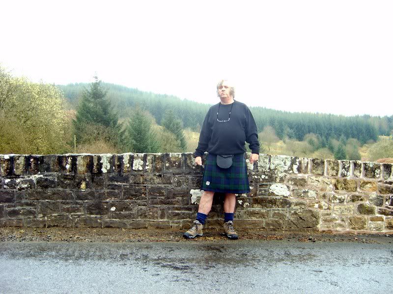
During my visit to Gilnockie Tower on Sunday, Ted Armstrong had spread out a map of the debatable lands which often changed allegiance between Scotland and England and were a favourite stamping ground of the Armstrongs and the Border Reivers, so I decided to head out that way this morning. Not sure if I'm in Scotland or England here as I'm standing on the little bridge over the Kershope Burn which for several miles of its course marks the boundary between Scotland and England. The camera is facing west, so the background on the left is in England, showing a small corner of the vast Kershope Forest.
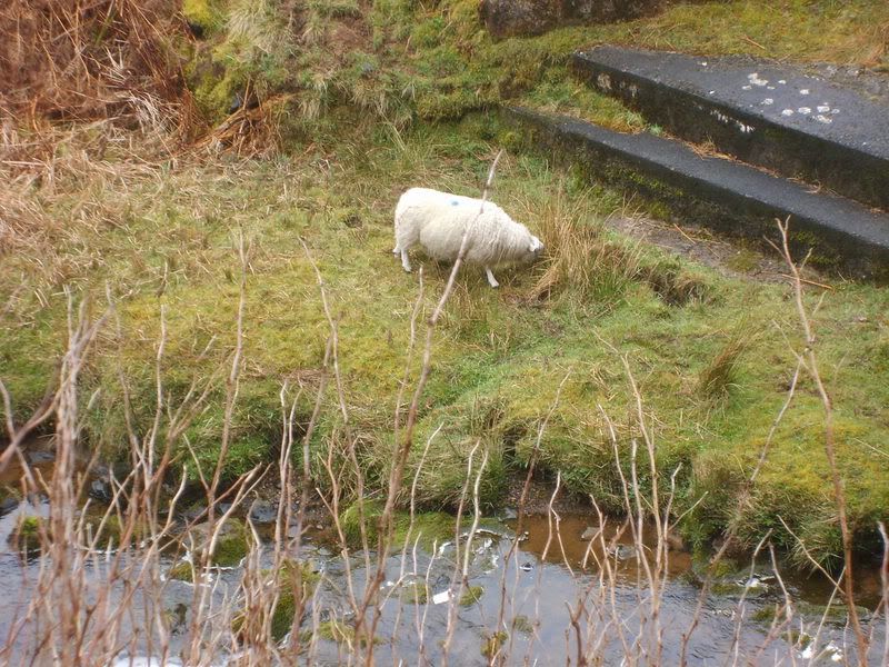
While the English bank of the Kershope Burn is planted with commercial forestry, on the Scottish side is moorland sheep grazing, and here is a view of a sheep grazing in Scotland, taken from England.
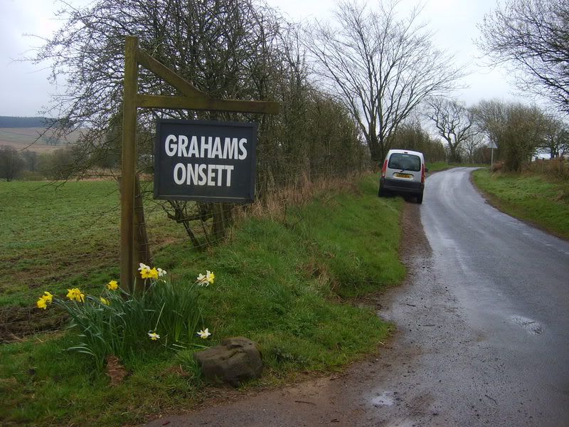
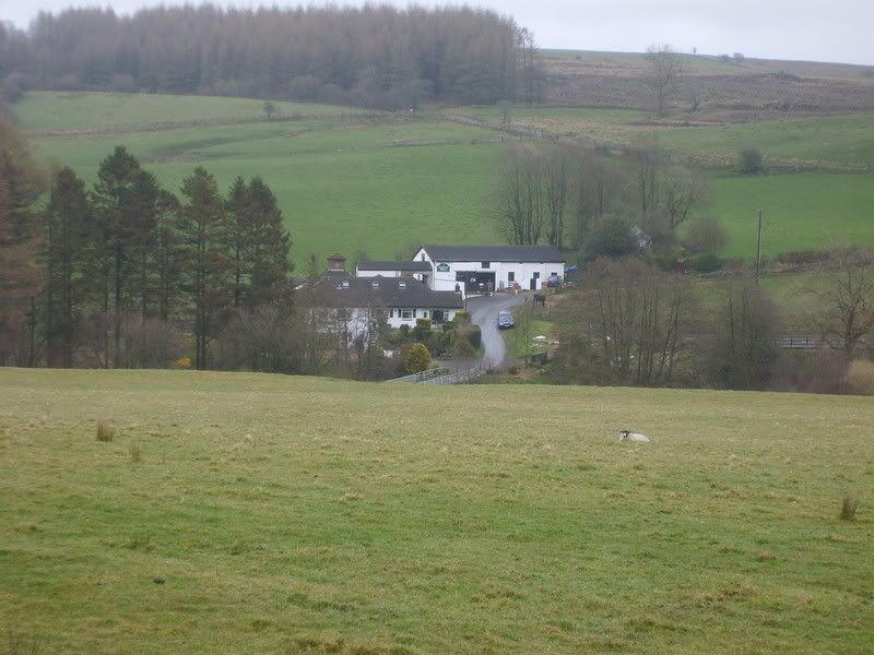
Crossing the grain of the land into another valley I came upon Graham's Onsett.
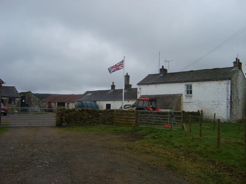
This turned out to be a farm, proudly flying the Union flag.
Bailey is a district name covering the valley of the Bailey Water. The main centre of the district is Bailey Mill.




Bookmarks