


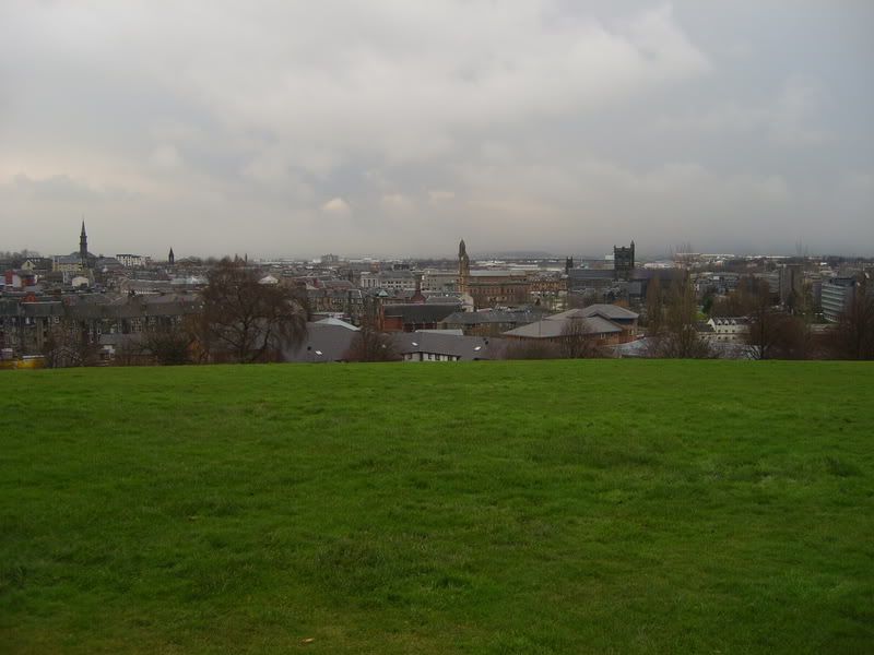
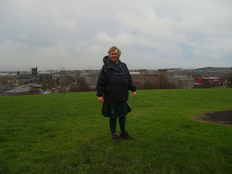
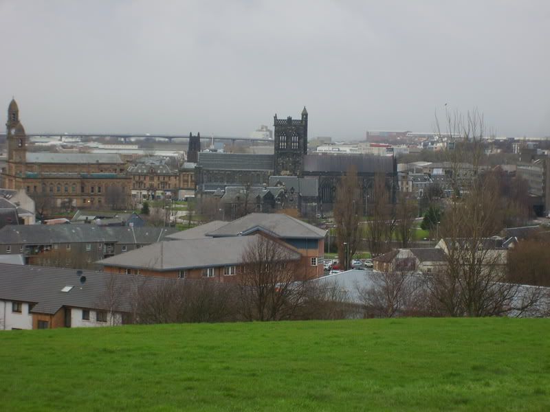
The higher ground glimpsed beyond the Anchor Mills in the first photo is one of Paisley's drumlins, outcrops of rock on which silt caught on the upstream sides when the Clyde was a wide glacier. As the ice age ended and the water levels receded these hills were characterised by their gentle slopes on the silty soil of the landward side and steep slopes on the rockier seaward slopes. This is the view from Saucel Hill.
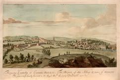
This is an image of an old painting held by Paisley Museum by an artist named Siezer and entitled The Prospect of the Abbey & Town of Paisley, and is dated 1693. I was trying to replicate the same view from the same spot with a modern digital camera three hundred and fifteen years later.
Not quite the same view as Siezer manages to show the Abbey and the River in his view. The river is in front of the Anchor Mill building behind me but cannot be seen from this position. Artistic licence perhaps?
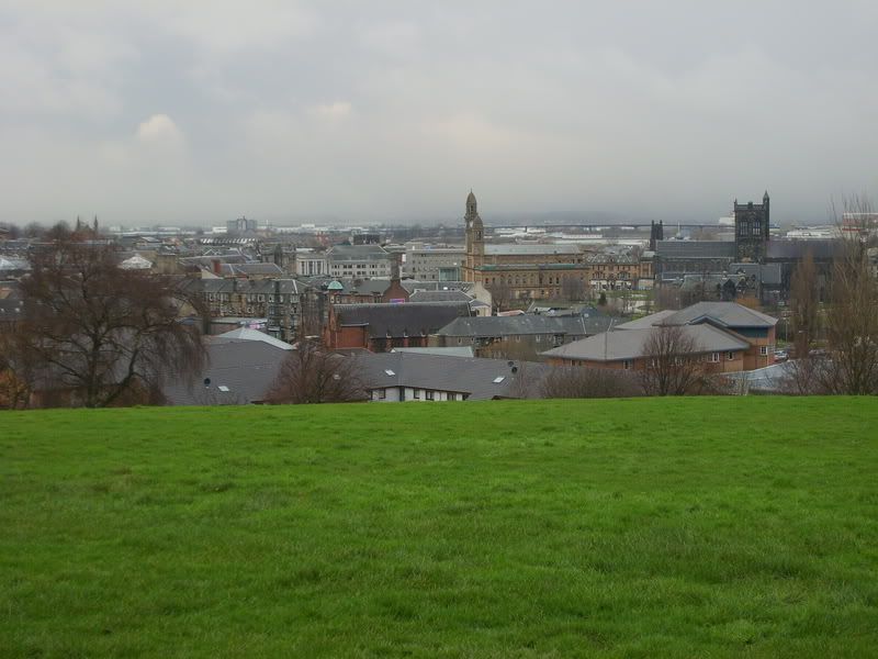
Nowadays we have the benefit of instant zoom.
We can even zoom in on the Abbey from here. Siezer's view shows that part of the abbey is missing - by the time of his painting, the Abbey had partially fallen down and it was only rebuilt in the 19th century.


Bookmarks