Craik Forest and Wolfcleuchhead Waterfall
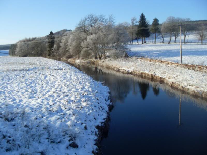
The sun was shining, the temperature was just a few degrees below freezing and I really wanted to get out and about. I drove twelve miles up the Borthwick Valley. This is a view taken en route, showing the Borthwick water at Muselie Bridge.
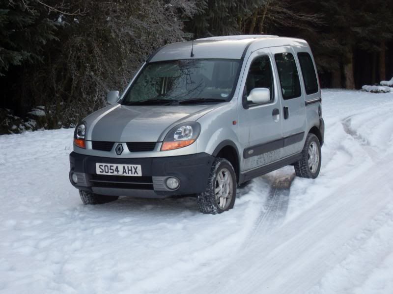
My trusty little French 4wd took me to the end of the public road at Craik.
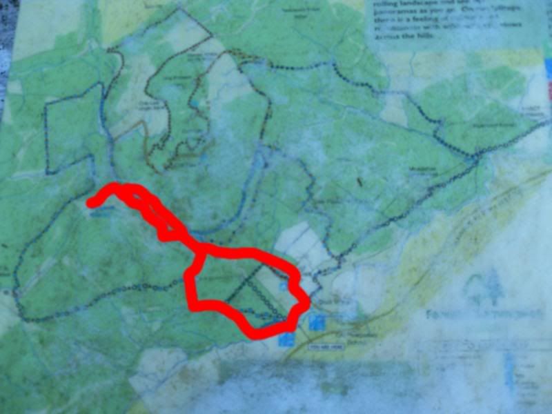
Now there was a choice of trails in the Craik Forest but due to the wintry conditions and being my first hike since my recent DVT I would only walk about three miles, a mix of logging roads and foot trails, following the valleys of the Aikhouse Burn and then its tributary the Wolfcleuch Burn, as far as the waterfall at Wolfcleuchhead.
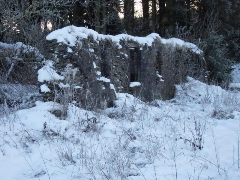
The last outpost of civilisation is this ruin, a short walk from the car park, probably a shepherd's cottage from the days before the old sheep pastureland around here was planted with forestry in the twentieth century.
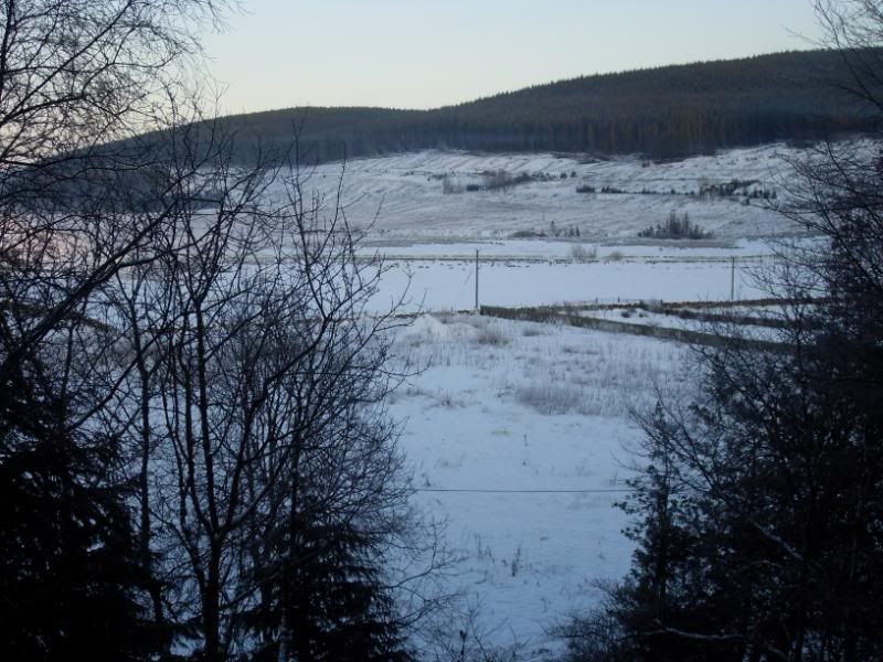
There were some open vistas on offer.
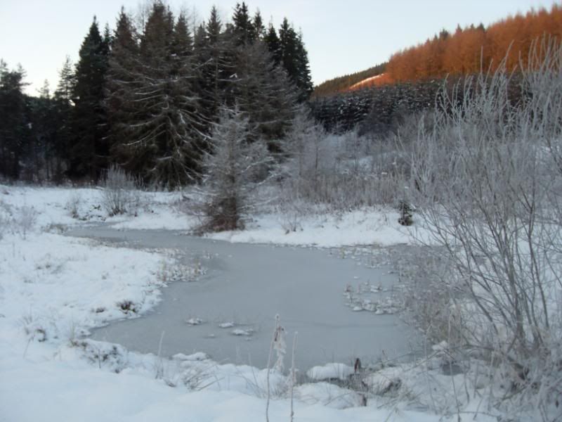
A frozen pond.
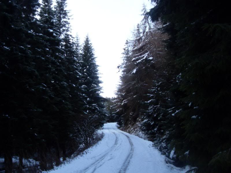
There is a sameness about logging roads, this could have been taken almost anywhere in Europe or North America.
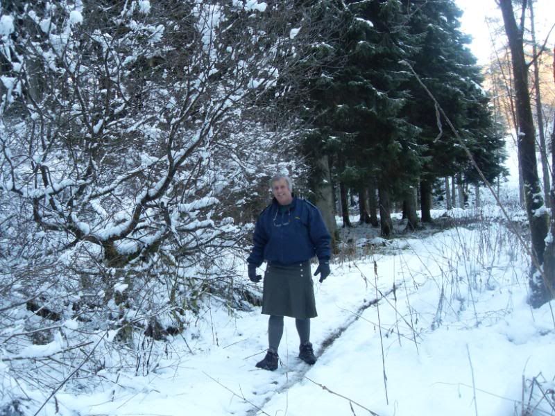
Soon I was onto a woodland path, where the winter chill seemed milder in the shelter of the trees.
The trail continued on up the valley of the Airkhouse Burn
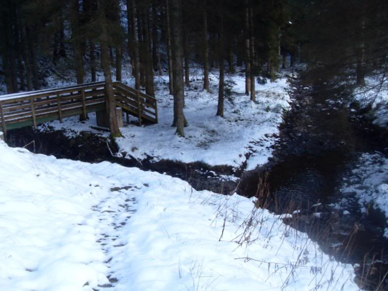
At the confluence of the Aikhouse Burn, a final crossing of that burn and then we follow the valley of the Wolfcleuch Burn (behind camera)
More to follow shortly.
Regional Director for Scotland for Clan Cunningham International, and a Scottish Armiger.


Bookmarks