


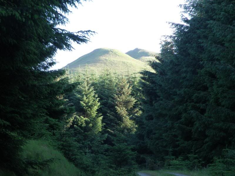
I can see these twin conical peaks from my garden. They are 8.4 miles south-south-east from here as the craw flies. The hill is officially named the Maiden Paps (yes really!) on the Ordnance Survey map. Height is given as 510 metres which equates to approximately 1,650 feet in real measurement
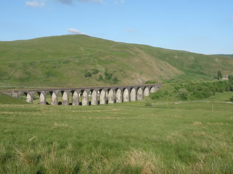
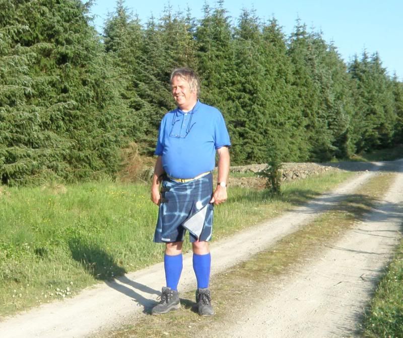
The long daylight hours of midsummer allow of an evening hill walk so I set off around 7pm, leaving my car at the end of the public road beside the old railway viaduct at Shankend, which would mean about a four mile hike in each direction.
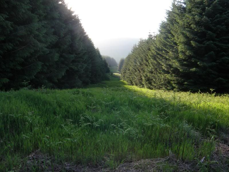
Into the forest, where the midges were out in their millions
I crossed the Catrail which is a fifty mile long ditch and rampart earthwork, thought to be a defensive border dating from around the time of Roman occupation. This view looks north-west along the Catrail.
A tantalising glimpse of the twin peaks between the trees. I had been to the top of the higher (right hand or westmost) peak two or three times before but not since I took up kilts or digital cameras. From experience I was aware that the easiest ascent would involve passing to the north then west of the peaks on the logging trail then doubling back into rough country to approach the summit from the west.
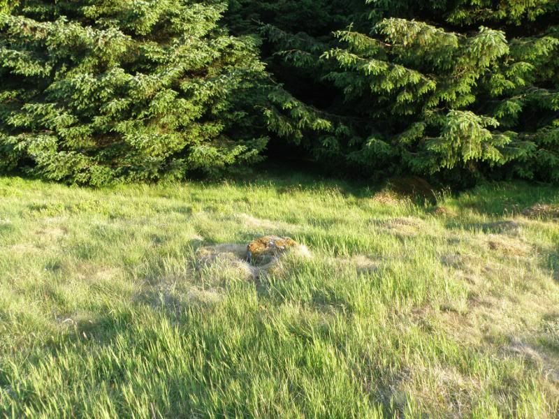
I was amazed how the trees had grown since my last visit and I had difficulty finding the path. This is where I emerged from the top of the tree line onto the open moorland, mercifully escaping from the midges, but I thought it prudent to photograph the moss clad boulder so that I would be able to recognise it as a landmark as to where I would need to re-enter the forest on the way back down.
More to follow shortly.


Bookmarks