|
-
30th August 08, 03:29 PM
#1
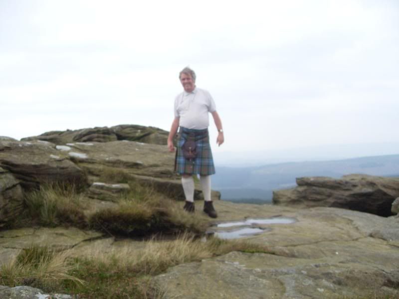
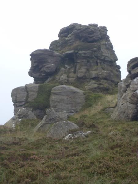
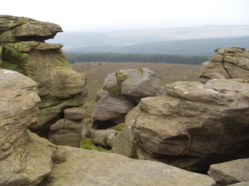
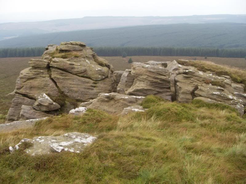
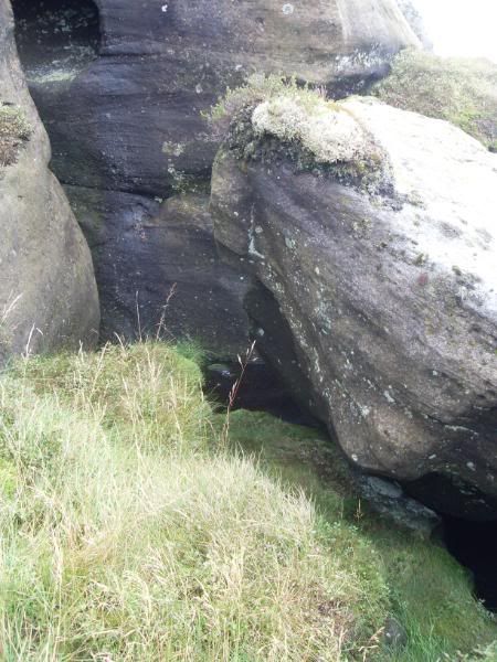
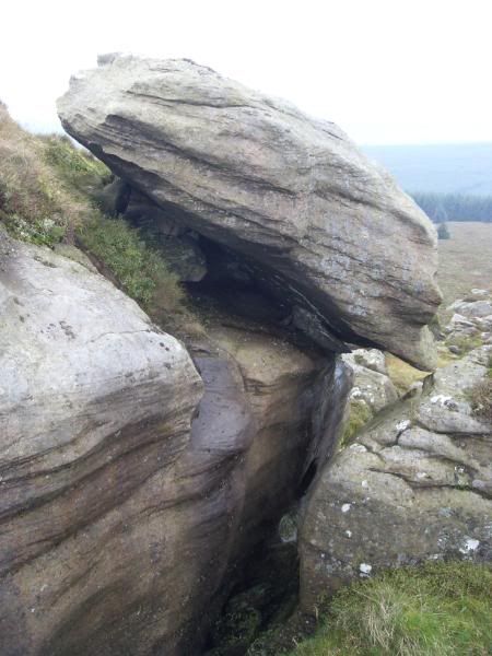
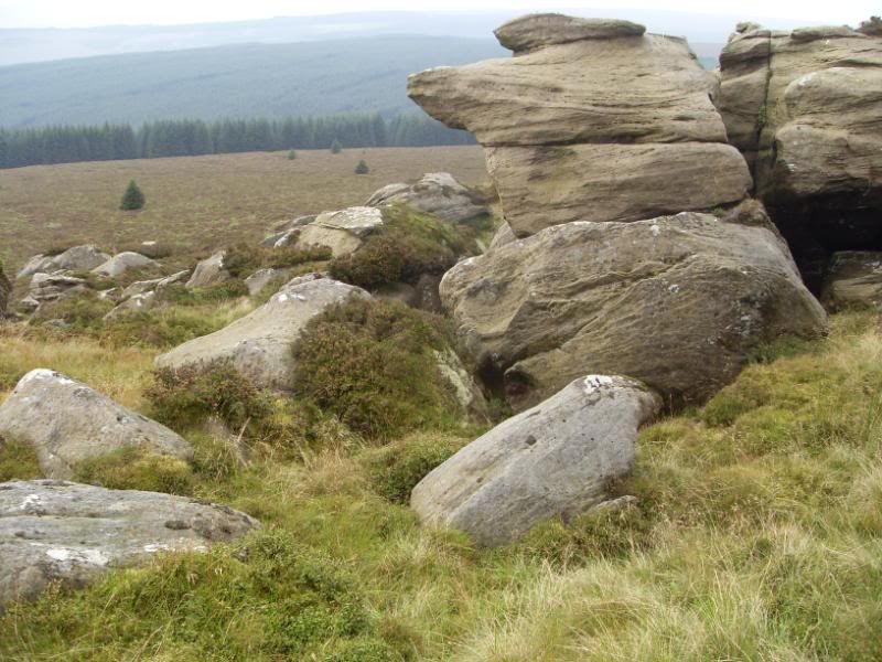
Christianbury Crag
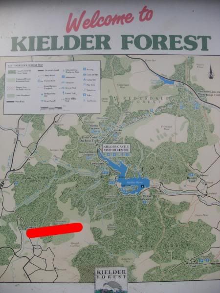
Kielder Forest is an uninhabited area of northern England in the Counties of Cumbria and Northumberland, near the Scottish Border. Formerly sheep pastures, the land was planted with commercial forestry and a large reservoir known as Kielder Water built during the twentieth century. Today's walk is about ten miles (five miles each way) and takes us from Cuddy's Hall picnic site on the western edge of the forest to the summit of Christianbury Crag, approximately five miles, marked on the red line.
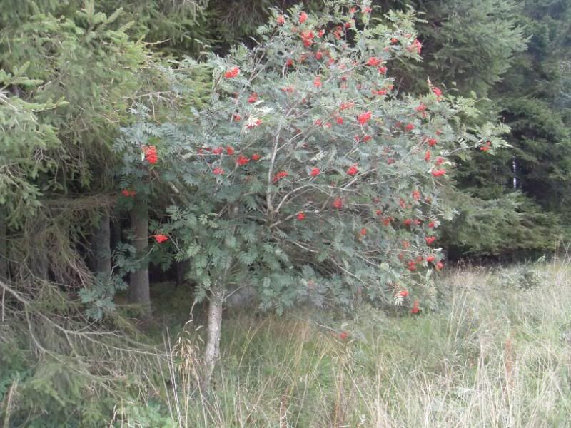
There are thousands of rowan trees planted along the edges of the conifer plantations.
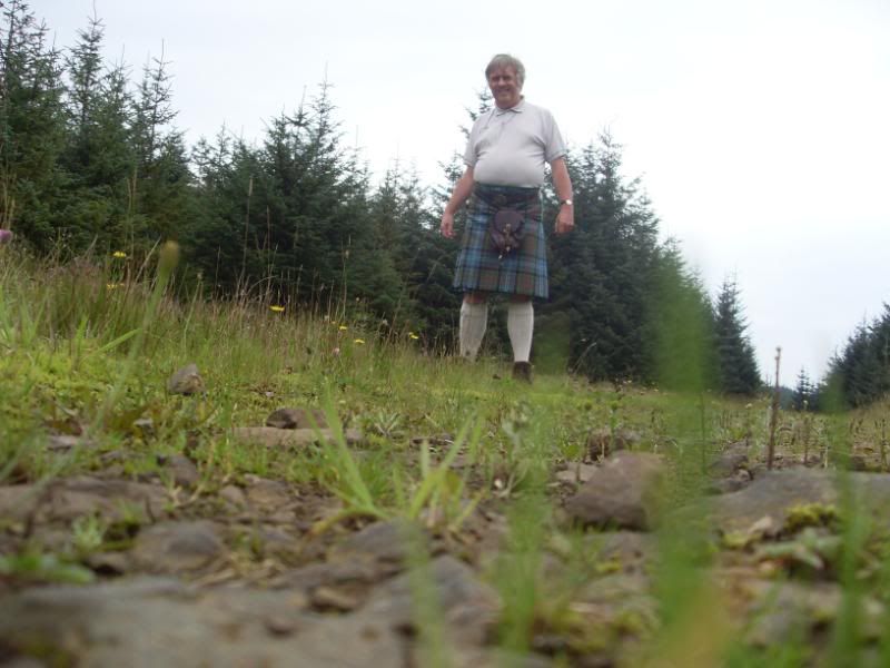
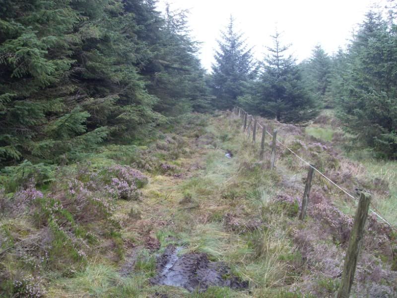
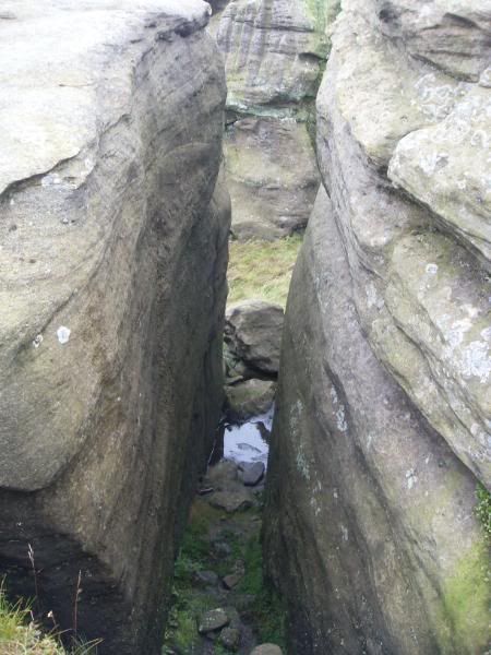
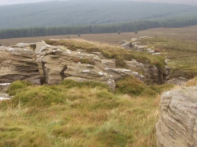
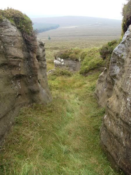
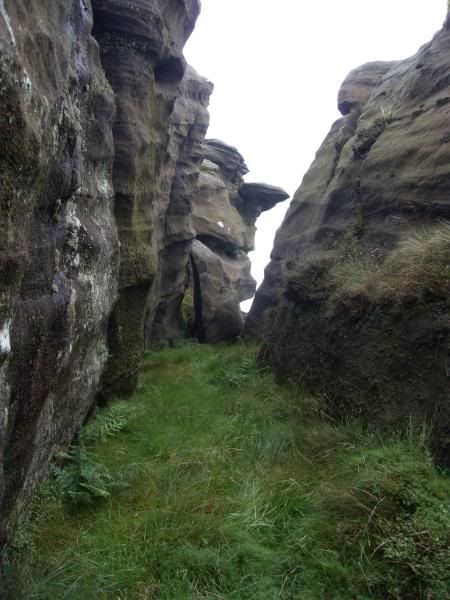
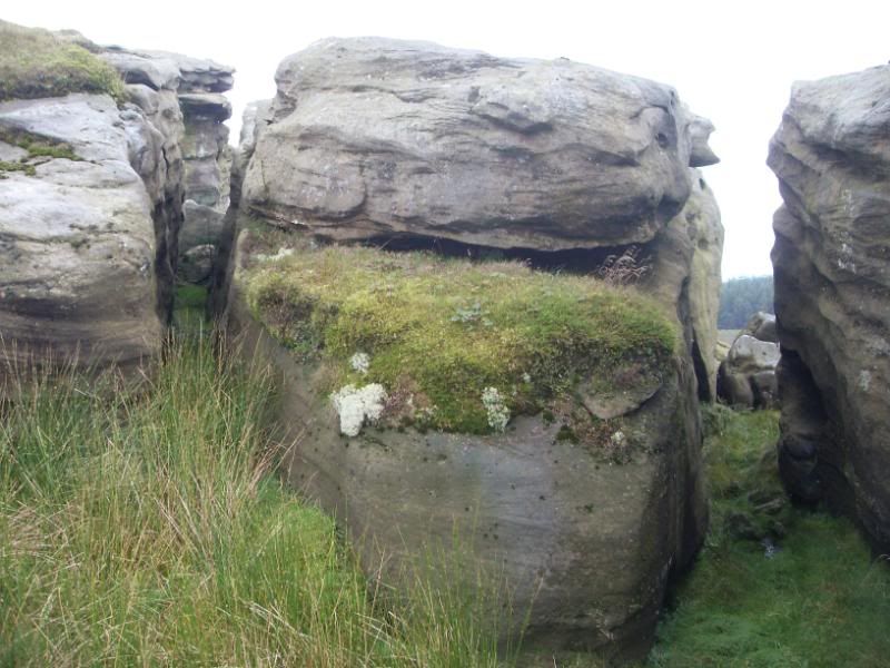
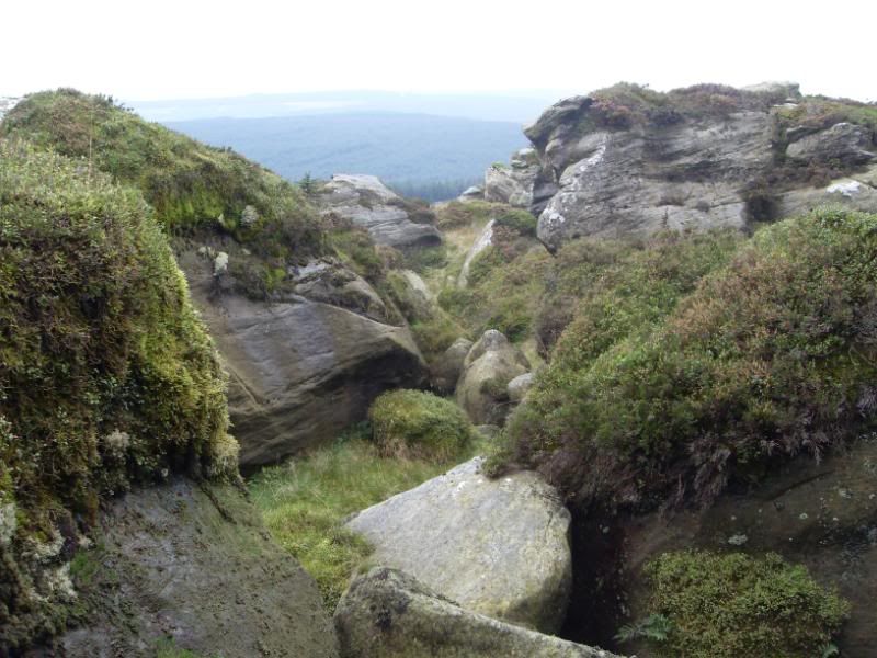
Along the trail
The trail is rough in places, but is waymarked.
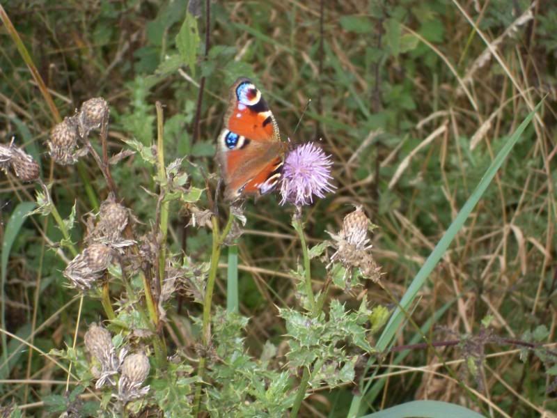
A peacock butterfly feeding on a thistle.
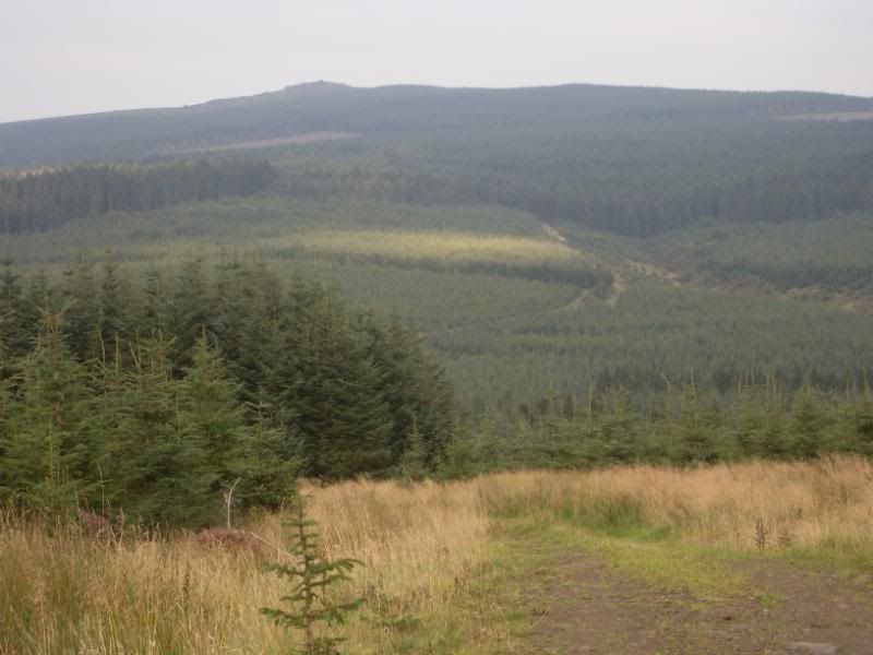
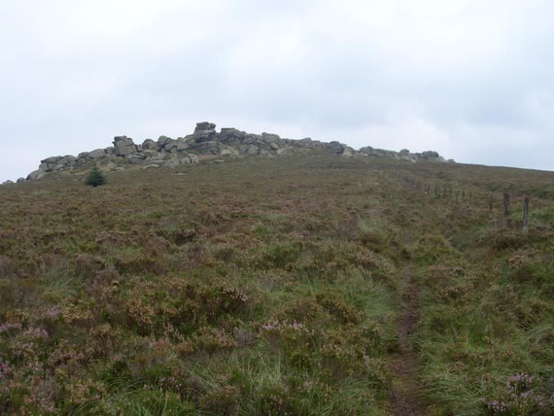
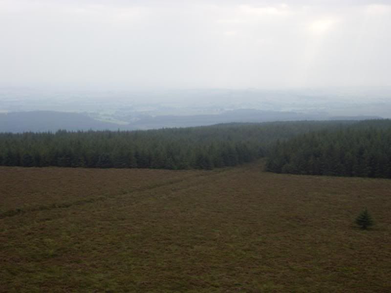
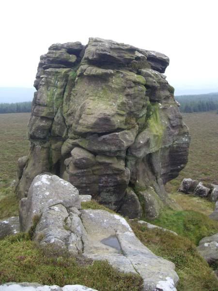
Breasting the first summit, we get the first glimpse of our destination, that rocky outcrop in the distance.
But first we need to descend to cross the valley of the Black Lyne.
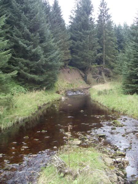
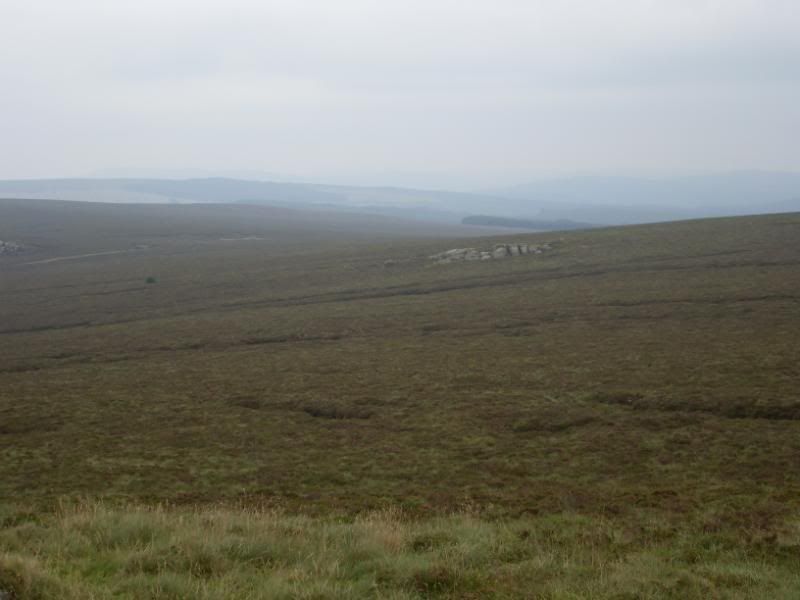
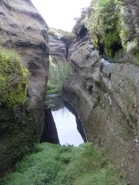
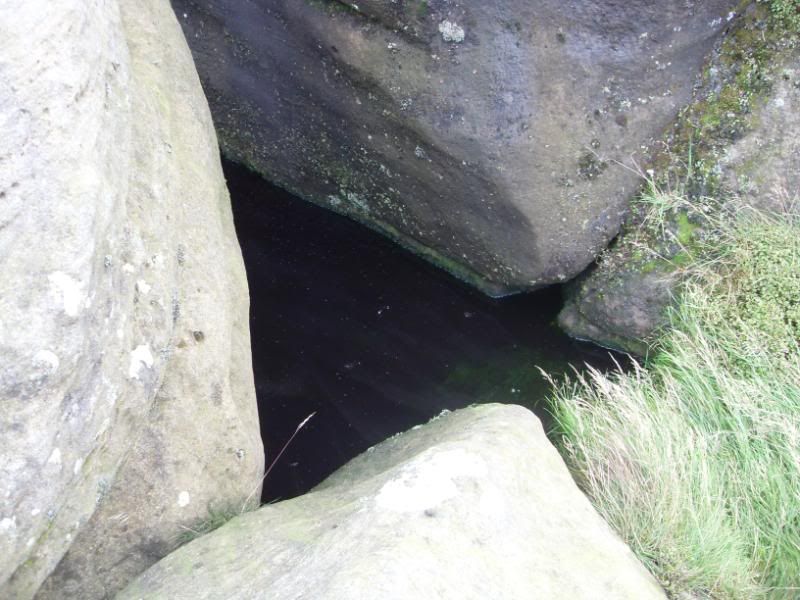
The Black Lyne, with water the colour of tea, caused by the peat bogs higher up.
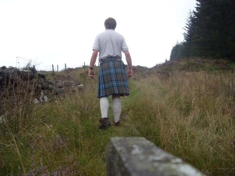
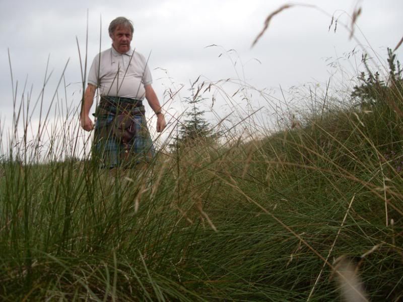
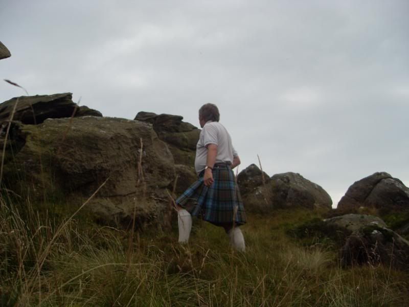
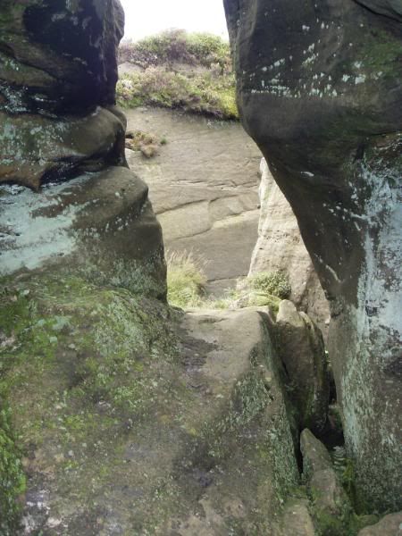
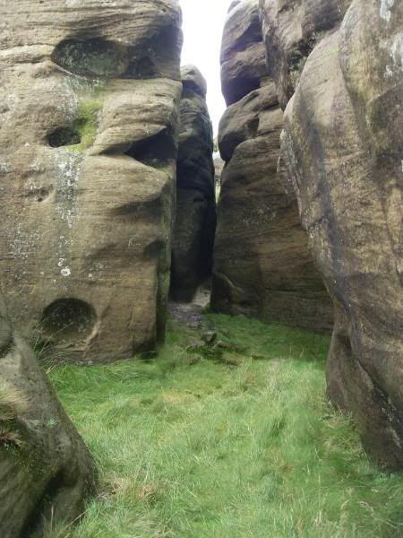
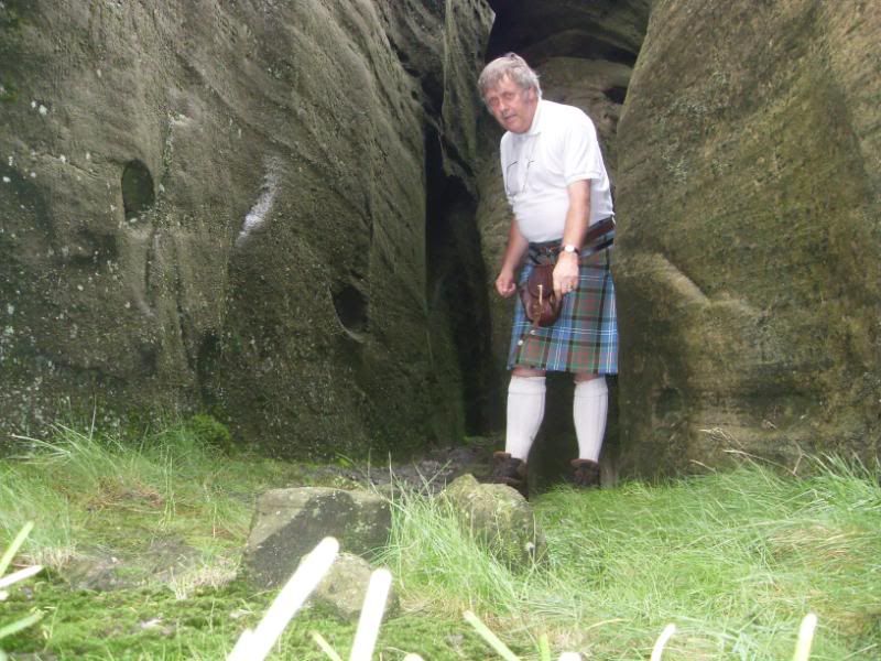
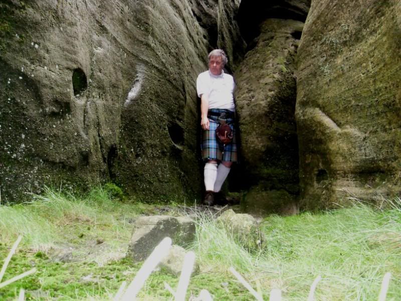
Kilt Onward and Upward
This is not a trail for the faint hearted.
Plenty of heather growing in the gaps between the tree plantations.
More to follow shortly.
Last edited by cessna152towser; 1st September 08 at 03:51 AM.
Regional Director for Scotland for Clan Cunningham International, and a Scottish Armiger.
-
-
30th August 08, 03:37 PM
#2
-
-
30th August 08, 03:44 PM
#3
-
-
30th August 08, 03:50 PM
#4
-
-
30th August 08, 05:24 PM
#5
Wow how pretty!! I must get to Scotland some day soon.
Thanks Alex for the pics,
Sara
"There is one success- to be able to spend your life your own way."
~Christopher Morley
-
-
30th August 08, 05:58 PM
#6
-
-
30th August 08, 08:07 PM
#7
Such a beautiful area. Thanks for the pictures.
-
-
30th August 08, 09:44 PM
#8
Great set of picture's Alex
-
-
30th August 08, 09:48 PM
#9
Another set of fine photos Alex
-
-
31st August 08, 06:33 AM
#10
Alex, I so enjoy your nature hike travelogues. You do a fine job of mixing the kilt in with the scenery, while truly showcasing the scenery itself. Thanks for sharing.
Convener, Georgia Chapter, House of Gordon (Boss H.O.G.)
Where 4 Scotsmen gather there'll usually be a fifth.
7/5 of the world's population have a difficult time with fractions.
-
Tags for this Thread
 Posting Permissions
- You may not post new threads
- You may not post replies
- You may not post attachments
- You may not edit your posts
-
Forum Rules
|
|


Bookmarks